World Seagrass Day
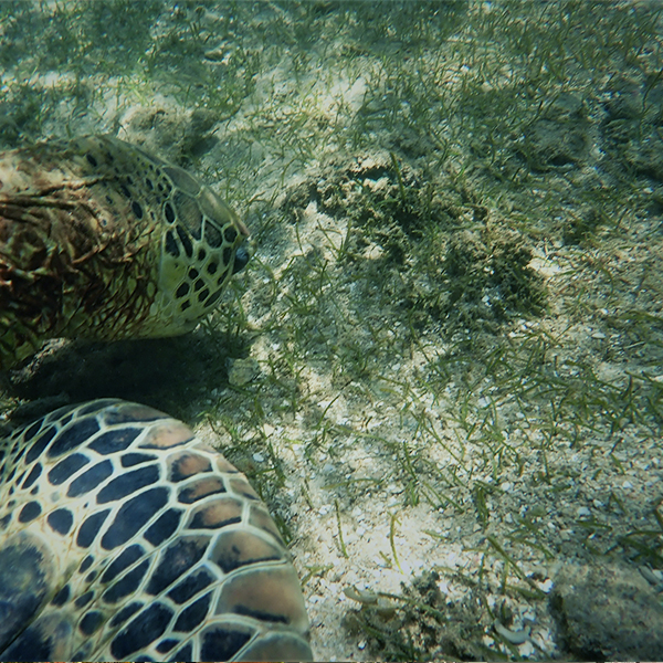
The United Nations General Assembly adopted on 23rd May 2022, a Sri Lanka sponsored Resolution A/76/L.56, declaring 1st March each year as World Seagrass Day. This is a landmark event for Sri Lanka in terms of Sri Lankan involvements with UN, and it is the second time UN has adopted a Sri Lankan resolution; first being the resolution submitted to UN to declare Vesak Day in 1999.
The resolution was adopted by consensus and co-sponsored by 24 countries. SriLankan Airlines is delighted to be part of this very first world celebration in 2023.
In honor of this historic resolution SriLankan Airlines together with Biodiversity Secretariat- Ministry of Environment, Blue Resources Trust, and Lanka Environment Fund is conducting a work shop on Aerial Image Classification and Seagrasses Mapping using Unoccupied Aerial Vehicles (drone mapping workshop).
Recent studies done in Thailand suggest that use of drones combined with traditional ground truth sampling increases the accuracy of the classification results from 81.41% to 98.59%. The high accuracy of the produced maps will result in better classification results and will increase the knowledge of the temporal changes of the seagrass ecosystems.
A very limited number of seats will be available for those who can prove that this training is an essential skill for your work.
Please fill the form in this web page so that you can participate in the workshop.
You can still join us for day one of the workshop for the theory session via zoom. Please be advised that your queries will only be answered not at the time of the meeting but when able to.

Workshop
Mapping and analysis of drone imagery of seagrass ecosystems

Objective:
The objective of this workshop is to demonstrate and educate local communities, stakeholders, and government staff on the usefulness of the drone imagery for the seagrass ecosystems. Through the workshop they will be trained on the drone flights, image processing, classification, and analysis, as well as the potential use of these results.
Output/outcome:
Through this workshop the participants will learn standardized methodology of the drone flight, image collection on the field as well as the collection and importance of the ground-truth data. Additionally, all the participants will be trained on the image processing and GIS software, which are used for the image processing, classification, and analysis. Using step-by step manual provided, the participants will be able to follow instructions and more importantly to have a manual for afterwards. Finally, the participants will be encouraged to bring their own image data sets, to work on them with experts, produce valuable and meaningful maps as well as to ask questions to the experts.
Workshop Orientation
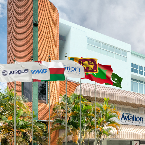
- Day 1: Theory component will be completed at the SriLankan Airlines Aviation Academy – Katunayake
- Day 2: The proposed field work will take place in Mannar
The proposed field work will take place in Mannar. This site is selected due to proximity to the seagrass bed as well as availability of area for the after-field image processing and analysis.
Schedule:
02 – 03 March 2023
Limited number of participants
| Date | Time | Activities |
|---|---|---|
| 2nd March SriLankan Aviation Academy Katunayake |
9:00-10:00 AM
10:30-12 AM
13:00-15:00 PM
15:30-16:00 PM
|
Preprocessing of the drone images
Classification of the seagrass area
Extraction of the dugong trail information
Image transfer and stitching of the images using Agi soft Photoscan software/Pix 4D
Traveling to Mannar
|
| 3rd March |
09:00-10:00 AM
13:00-15:00 PM
|
Introduction to drone
Field activities: drone parts, pre-flight checkups, different modes of flights, safety, autonomous flight
|
Pre workshop Schedule:
Half a day online session will be organized for the selected participants to familiarize with GIS and image processing techniques
Accommodation:Accommodation will be provided in Mannar
MealsAll meals during the workshop will be provided
Transport
March 2nd 2023 (morning)
Transport will be provided from Colombo - SriLankan Airlines corporate office to SriLankan Airlines Aviation College – Katunayake
March 2nd 2023 (afternoon)
Transport will be provided from SriLankan Airlines Aviation College to Mannar
March 3rd, 2023 (morning)
Transport from hotel to seagrass site (illuppaikkadavi)
March 3rd, 2023 (Afternoon)
Transport from field to Colombo will be provided
Requirements
Own Laptop Windows 10 or above
Please download and install the QGIS
Registration deadline: 20 February 2023
For registrations, please fill the form given here. Limited participation
Registration
For registrations, please fill the form given here
For further details please call
Susantha – 0715696659
Manoj - 0714408593
Successful candidate will be notified via email
About your resource person
Dr. Milica Stancovik
Dr. Milica Stancovik is a post-doctoral researcher at,Prince of Songkla University Thailand, with extensive experience in research on seagrass ecosystems in the tropical region.
She graduated on the mapping and modeling of blue carbon in seagrass meadows in Thailand, and she continued to work in this area of study across the region. Her recent work include mapping seagrass meadows using drones and satellites on a national scale, blue carbon assessments as well as engaging in outreach programs with local NGOs and communities in seagrass research and restoration. Dr. Stancovik is also affiliated with various international networks on the topic of GIS and remote sensing of the coastal ecosystems, such as IOC Sub-Commission for the Western Pacific (WESTPAC) and Group on Earth Observation Biodiversity (GEO BON).

